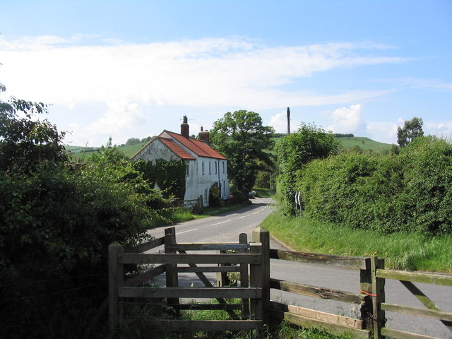
Caistor, Rothwell and Nettleton Walk
![]()
![]() This circular walk from the Roman Town of Caistor takes you through the countryside to the neighbouring villages of Nettleton and Rothwell. There's some lovely Lincolnshire Wolds scenery and attractive villages to see on the route.
This circular walk from the Roman Town of Caistor takes you through the countryside to the neighbouring villages of Nettleton and Rothwell. There's some lovely Lincolnshire Wolds scenery and attractive villages to see on the route.
Caistor has many attractive Georgian buildings but dates back to as Roman times. Nettleton, has an interesting Ironstone mining history, while Rothwell boasts a fine old pub where you can stop off for refreshments on the walk.
The walk starts in Caistor where you can pick up the Viking Way and follow the waymarked trail south along the Nettleton Brook towards Nettleton and Normanby le Wold. Before you reach Normanby you turn east along a track to take you to the pretty little village of Rothwell. From here you head north before another bridle track takes you west back towards Nettleton.
Caistor Ordnance Survey Map  - view and print off detailed OS map
Caistor Open Street Map  - view and print off detailed map
Caistor OS Map  - Mobile GPS OS Map with Location tracking
Caistor Open Street Map  - Mobile GPS Map with Location tracking
Pubs/Cafes
On the route you can stop off at the excellent Blacksmith's Arms in Rothwell. The pub does good food and has a lovely large garden area for warmer days. You can find it at Hillrise, Caistor Rd, Rothwell with a postcode of LN7 6AZ for your sat navs.
Dog Walking
The country trails make for a fine dog walk and the Blacksmith's Arms mentioned above is also dog friendly.
Further Information and Other Local Ideas
To continue your walking in the area you could head north on the Viking Way to visit Grasby, Somerby, Barnetby le Wold and Elsham.
A few miles to the north west you can visit the interesting market town of Brigg and enjoy a waterside walk along the New River Ancholme to the Humber Bridge on the Humber Estuary near Hull and Barton Upon Humber.
Just to the north there's the neighbouring village of Great Limber with its 13th century church and the historic Brocklesby Estate.
Just to the east you can pick up the Wanderlust Way around the little village of Barnoldby le Beck. The 20 mile circular walk explores the Lincolnshire Wolds and includes views of the Humber Estuary.
For more walking ideas in the area see the Lincolnshire Walks page.
Cycle Routes and Walking Routes Nearby
Photos
Nettleton Beck Valley (upper part). The beck - an inconsequential trickle to the left of the fence - occupies a fine and distinctive valley in the Lincolnshire wolds. The Viking Way follows it for over two miles.


