Nettleton Beck and Nettleton Top Circular Walk
![]()
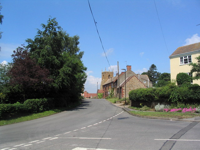
![]() This Lincolnshire based village is located just south of Caistor in the West Lindsey District of the country.
This Lincolnshire based village is located just south of Caistor in the West Lindsey District of the country.
The village sits on the Viking Way which can be used to explore the surrounding countryside of the Lincolnshire Wolds AONB.
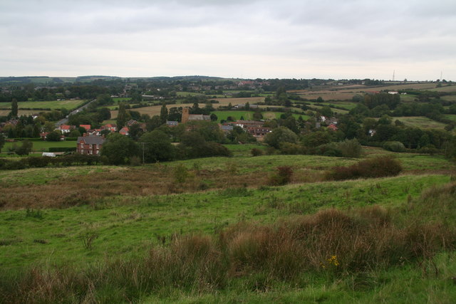
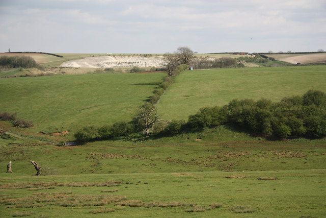
This circular walk from Nettleton takes you up to Nettleton Hill and Nettleton Top where there are some nice views over the area. Part of the route takes you along the Viking Way and the pretty Nettleton Beck which runs just south of the settlement.
To continue your walking around Nettleton head west to visit Nettleton Wood. The Woodland Trust owned woods have some nice peaceful trails to try. The Nev Cole Way also starts/finishes in the village. This waymarked long distance trail will take you along the Rivers Trent and Humber to Burton Upon Stather.
Please scroll down for the full list of walks near and around Nettleton. The detailed maps below also show a range of footpaths, bridleways and cycle paths in the area.
Postcode
LN7 6NP - Please note: Postcode may be approximate for some rural locationsNettleton Ordnance Survey Map  - view and print off detailed OS map
Nettleton Open Street Map  - view and print off detailed map
*New* - Walks and Cycle Routes Near Me Map - Waymarked Routes and Mountain Bike Trails>>
Nettleton OS Map  - Mobile GPS OS Map with Location tracking
Nettleton Open Street Map  - Mobile GPS Map with Location tracking
Walks near Nettleton
- Caistor - This circular walk from the Roman Town of Caistor takes you through the countryside to the neighbouring villages of Nettleton and Rothwell
- Viking Way - Follow in the footsteps of the Norse invaders on this long distance walk from the Humber Bridge to Oakham in Rutland
- Brigg - This North Lincolnshire based market town has some fine waterside walking through the Ancholme Valley.
- Great Limber - This historic Lincolnshire based village is surrounded by some attractive countryside and woodland
- Grimsby - This Lincolnshire Port town has some nice trails to follow through the town and around the docks
- Cleethorpes Country Park - This 160 acre park has a 7 acre lake with footpaths and a cycle path running through it.
- Cleethorpes to Tetney Lock Walk - This circular walk takes you from the outskirts of Cleethorpes to Tetney Lock on the Louth Canal.
- Weelsby Woods - This country park has mature trees, woodland, and large grassy areas to explore
- Wanderlust Way - Follow the Wanderlust Way through the Lincolnshire Wolds AONB and enjoy splendid views of the Humber Estuary on this circular walk
- Barnoldby le Beck - This little Lincolnshire village near Grimsby has some pleasant trails to follow through the local woods and countrysisw of the Lincolnshire Wolds
- Nev Cole Way - This walk runs from Burton Upon Stather and Alkborough Flats to Nettleton through the Lincolnshire countryside
- Lincolnshire Wolds Way - This circular walk explores the Lincolnshire Wolds AONB, visiting numerous pretty villages, parks and hills.
Pubs/Cafes
Back in the village head to The Sali for some refreshments after your walk. They serve good quality food and can be found at postcode LN7 6NP.
Further Information and Other Local Ideas
The Lincolnshire Wolds Way passes through the village. This long distance circular walk explores some of the finest scenery of the AONB, visiting several historic villages on the way.


