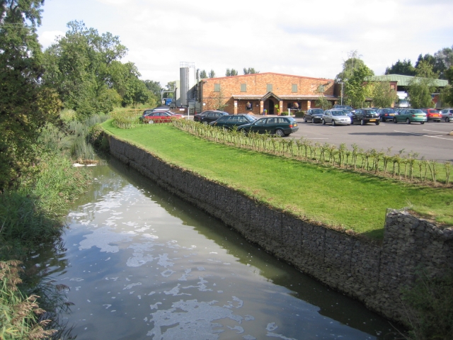
Langford Walks

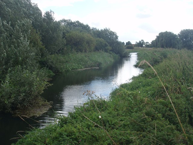
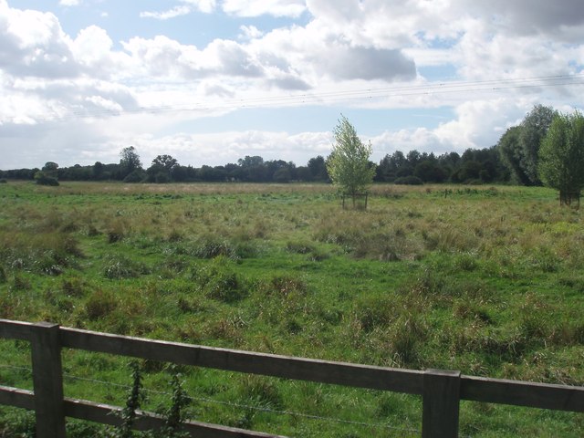
 This Bedfordshire based village has some pleasant footpaths along the River Ivel.
The village is located just south of Biggleswade in the Central Bedfordshire District.
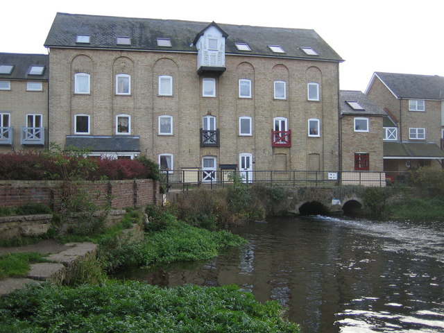
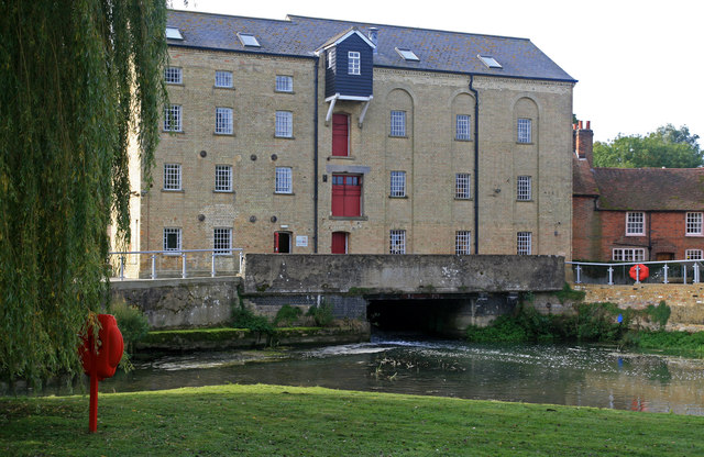
This walk from the village takes you to the neighbouring town along a section of the Kingfisher Way. It's a pleasant three mile walk, running along the flat riverside path. On the way you will pass the historic Langford Mill and Jordan's Mill, a Victorian flour mill with lovely gardens and tea rooms.
See the list below for a number of other walks in and around Langford.
Postcode
SG18 9QA - Please note: Postcode may be approximate for some rural locationsLangford Ordnance Survey Map  - view and print off detailed OS map
Langford Open Street Map  - view and print off detailed map
Langford OS Map  - Mobile GPS OS Map with Location tracking
Langford Open Street Map  - Mobile GPS Map with Location tracking
Walks near Langford
- Biggleswade - This market town in Bedfordshire has fine trails along the peaceful River Ivel and some attractive local countryside to explore.
- Kingfisher Way - This is a delightful walk along the River Ivel from Baldock to Roxton
- Greensand Ridge Walk - A walk through Bedforshire, Buckinghamshire and Cambridgeshire from Leighton Buzzard to Gamlingay
- Clopton Way - This walk runs from Wimpole Hall to Gamlingay via the abandoned medieval village of Clopton
- Baldock - This walk from Baldock visits two pretty nature reserves along the River Ivel which flows through the area
- Wimpole Hall - This 17th century country house near Cambridge is surrounded by 3,000 acres of parkland and farmland
- St Neots - This pretty town in Cambridgeshire has some lovely country and riverside walks to try
- Ouse Valley Way - Follow the River Great Ouse from the source at Brackley, Northamptonshire, to the mouth at The Wash at King's Lynn
- Sandy - This Bedfordshire based market town has some nice waterside trails along the River Ivel and a significant local nature reserve to explore.
- Potton Wood - These peaceful woods are located a couple of miles east of the small town of Potton in Bedfordshire.
- Stotfold - This is a lovely riverside walk to the picturesque Stotfold Mill in Bedfordshire near Baldock and Letchworth.
- Arlesey - This small town in Bedfordshire is located close to two rivers where you can enjoy some easy waterside walking.
- Shefford - This Bedfordshire based town is close to several areas of woodland with miles of walking and cycling trails to try
- Cambourne - This walk visits the Cambourne Nature Reserve before heading to the neighbouring villages of Caxton and Bourn.
- Henlow - This Bedfordshire based village is known for its 12th century church and the Champneys Health farm which is used by the rich and famous
- Old Warden - This chocolate box Bedfordshire village is famous for the Shuttleworth Museum of historic airplanes and motor vehicles at Old Warden Aerodrome
Pubs/Cafes
The Plough is located at 77 Church Street, SG18 9QA. The pub dates back to 1846 and includes 3 large gardens areas with a floodlit Petanque court. It's a popular spot to relax and enjoy a drink during the warmer months. There is a car park and they are also dog friendly.
Further Information and Other Local Ideas
To the north west is the chocolate box village of Old Warden. The village is famous for the Shuttleworth Museum of historic airplanes and motor vehicles at Old Warden Aerodrome. The area also includes Old Warden Park where there are some lovely Swiss gardens, parkland walks and pretty lakes.
