Yeavering Bell
![]()
![]() Climb to the summit of this hilll in the Cheviots and visit the largest Iron Age hillfort in the region. The walk starts near Kirknewton at the Gefrin lay-by where there is some roadside parking. From here you head south climbing to the fort on public footpaths and the St Cuthbert's Way long distance path.
Climb to the summit of this hilll in the Cheviots and visit the largest Iron Age hillfort in the region. The walk starts near Kirknewton at the Gefrin lay-by where there is some roadside parking. From here you head south climbing to the fort on public footpaths and the St Cuthbert's Way long distance path.
At the fort you can see the platforms of more than one hundred timber-built roundhouses and an inner fort on a 12 acre site. There's also fabulous views to the surrounding hills and the opportunity to look out for the feral goats that inhabit the area.
If you're staying in nearby Wooler you could follow the St Cuthbert's Way west to the site as an alternative route.
Just to the west of the site there's another old fort and settlement at West Hill. There's another circular trail to follow around the site here too. On the western side of the hill there's also some nice footpaths along the College Burn to the nearby Hethpool Linn waterfall and the hillfort at West Hill. It makes a nice addition to your outing if you have time.
Postcode
NE71 6HF - Please note: Postcode may be approximate for some rural locationsYeavering Bell Ordnance Survey Map  - view and print off detailed OS map
Yeavering Bell Open Street Map  - view and print off detailed map
Yeavering Bell OS Map  - Mobile GPS OS Map with Location tracking
Yeavering Bell Open Street Map  - Mobile GPS Map with Location tracking
Pubs/Cafes
Head into nearby Wooler and there's a good range of pubs and cafes. The Anchor Inn is a good choice with a friendly atmosphere and very good food at reasonable prices. You can find it on Cheviot St with a postcode of NE71 6LN. It's also dog friendly if you have your canine friend with you.
Further Information and Other Local Ideas
Head about 2 miles east of the hill and you'll come to another interesting historical site at Humbleton Hill near Wooler. There's another hill fort here and waterside trails along the Humbleton Burn.
A few miles south of the site there's another good climb at Hedgehope Hill. There's fabulous views towards the coast and Lindisfarne Castle from the summit here. Near here there's also the impressive Linhope Spout Waterfall and the beautiful Ingram Valley to explore.
A few miles to the south there's the noteworthy climb to The Cheviot, the highest point in the Cheviot Hills.
Cycle Routes and Walking Routes Nearby
Photos
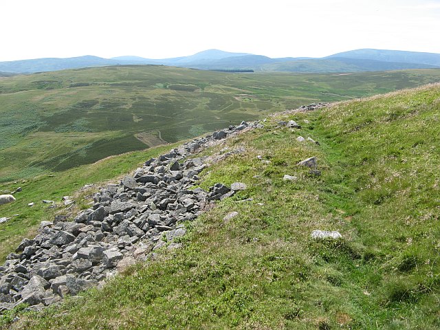
Walls, Yeavering Bell. The site was a substantial hill fort with a high masonry wall enclosing over 5Ha of ground. A lot of the wall is visible still, this is the north side near where the waymarked path arrives from Old Yeavering.
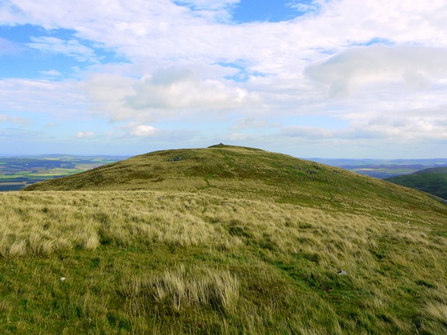
Looking east to Yeavering Bell. This whole valley has recently been planted with native hardwoods such as Beech, Hawthorn, Rowan, Birch, Ash etc. It should be spectacular sight in 30 years' time.


