Walk around Castle Donington
![]()
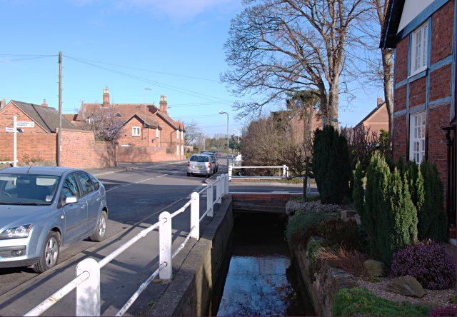
![]() This historic market town in Leicestershire, is located near the National Forest, just north of East Midlands Airport. The attractive town includes a number of Tudor houses and a noteworthy 13th century church.
This historic market town in Leicestershire, is located near the National Forest, just north of East Midlands Airport. The attractive town includes a number of Tudor houses and a noteworthy 13th century church.
This walk from the town heads east to visit Hemington, Daleacre Hill and Lockington. There's some nice countryside views and some interesting old buildings to see in the nearby villages.
The walk starts on the northern side of the town where you can pick up footpaths heading east past the remains of the old 13th century castle to the neighbouring village of Hemington.
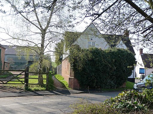
You continue east past Daleacre Hill to Lockington where you can see Lockington Hall. The hall is Grade II listed and dates from the 17th century.
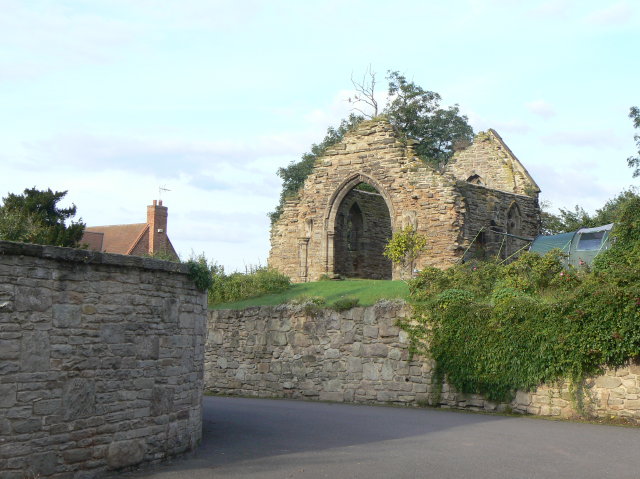
You then pick up Church Lane and follow it west back to Hemington. You'll pass the ruins of the old chapel which has not been used since the 16th century. From here you retrace your steps to Castle Donington.
Postcode
DE74 2PP - Please note: Postcode may be approximate for some rural locationsCastle Donington Ordnance Survey Map  - view and print off detailed OS map
Castle Donington Open Street Map  - view and print off detailed map
Castle Donington OS Map  - Mobile GPS OS Map with Location tracking
Castle Donington Open Street Map  - Mobile GPS Map with Location tracking
Walks near Castle Donington
- Staunton Harold Reservoir - Enjoy a waterside walk along this 210 acre reservoir in Melbourne, Derbyshire
- Melbourne Hall and Pool - This circular walk explores the area to the south of the Derbyshire town of Mlebourne
- Foremark Reservoir - This walk visits the pretty Foremark Reservoir near Burton Upon Trent in Derbyshire
- Calke Park - This walk takes you around the magnificent Calke country estate located in Ticknall, Derby
- Coalville - This Leicestershire based town is close to a number of peaceful woodland areas and an excellent viewpoint at the high point in the county.
- Burton Upon Trent - This Staffordshire based market town has some fine riverside and canalside walks to try
- Cloud Trail - This super traffic free cycle route runs from Derby to Worthington along National Cycle Network route number 6
- Trent and Mersey Canal - Follow the Trent and Mersey Canal through Derbyshire, Staffordshire and Cheshire on this long distance waterside walk
- Shardlow - This circular walk around Shardlow takes you along the Trent and Mersey Canal and the River Derwent
- Kegworth - This large Leicestershire based village has some nice canal and country trails to try.
- Midshires Way - This route follows public bridleways and quiet country lanes through Middle England, from Bledlow, near Aylesbury in Buckinghamshire, to Stockport in Greater Manchester
- Trent Lock - This circular walk explores the countryside and waterways surrounding Trent Lock in Long Eaton
- Rushcliffe Country Park - Explore over 200 acres of cycling and walking trails in this popular country park in Ruddington near Nottingham
- East Leake - This pretty Nottinghamshire village has a picturesque green, a selection of waymarked country trails and a fine local farm to visit
- Loughborough Canal Walk - A waterside walk from Loughborough to Leicester along a section of the Grand Union Canal and the River Soar
- Nottingham Canal - Enjoy a walk or cycle along this pretty canal in Nottingham
- Nottingham Circular Walk - This long circular walk makes use of various waymarked footpaths to take you on a tour of the city's rivers, canals, nature reserves and parks.
The walk starts at the train station and heads a short distance south to the River Trent - Beeston Canal - This walk takes you along the Beeston Canal in Nottingham
Pubs/Cafes
Back in the town the Castle Inn is a good choice for post walk refreshment. The 18th Century Coaching inn serves fine wood fired pizzas and has a nice roof top terrace garden to sit out in. You can find them at 2 High Street, DE74 2PP.
Dog Walking
The footpaths make for a nice dog walk and the Castle Inn mentioned above is also dog friendly.
Further Information and Other Local Ideas
If you head south west from the town you can visit some highlights of the area at the Melbourne Hall and Staunton Harold Reservoir.
A couple of miles to the west is Donington Park. It is famously used as a motor racing track and is also the venue for the Download Music Festival.
To the north you can pick up the towpath of the Trent and Mersey Canal around Shardlow and Long Eaton.
To the east at Kegworth there's the long distance Midshires Way to try.
For more walking ideas in the area see the Leicestershire Walks page.


