Orlingbury Walks
3 miles (5.6 km)

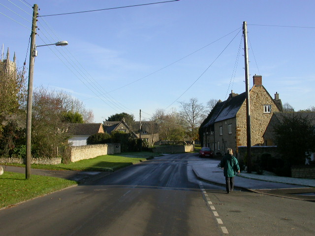
 This Northamptonshire based village is located near the towns of Kettering and Wellingborough.
This circular walk from the village uses public footpaths to explore the surrounding countryside, visiting the neighbouring village of Little Harrowden. Here you can pay a visit to St Mary's church which dates back to around 1190.
Postcode
NN14 1JD - Please note: Postcode may be approximate for some rural locationsOrlingbury Ordnance Survey Map  - view and print off detailed OS map
Orlingbury Open Street Map  - view and print off detailed map
Orlingbury OS Map  - Mobile GPS OS Map with Location tracking
Orlingbury Open Street Map  - Mobile GPS Map with Location tracking
Walks near Orlingbury
- Titchmarsh Nature Reserve - Enjoy waterside walking in this nature reserve in Thrapston, near Kettering
- Nene Way - Follow the River Nene through the beautiful Nene Valley on this fabulous walk through Cambridgeshire, Lincolnshire and Northamptonshire.
The long distance path runs for over 100 miles, passing Northampton, Wellingborough, Oundle, Peterborough and Wisbech.
There's much to enjoy on the way with rushing weirs, a series of historic villages and old mills - Stanwick Lakes - Explore 750 acres of parkland and nature reserve in the heart of Northamptonshire's beautiful Nene Valley
- Fermyn Woods - This country park and forest has a number of walking trails and two bridleways for cyclists
- Cransley Reservoir - This walk visits Cransley Reservoir from the village of Thorpe Malsor in Northamptonshire.
- Ringstead - This circular walk explores the countryside and neighbouring villages around the Northamptonshire village of Ringstead.
- Wellingborough - The Northamptonshire town of Wellingborough has some lovely walking trails to follow through the Nene Valley
- Thrapston - This walk from the Northamptonshire town of Thrapston takes you along the River Nene to the neighbouring village of Wadenhoe
- Rushden Lakes - This walk visits Rushden Lakes in the Nene Valley area of Northamptonshire
- Irchester Country Park - Enjoy numerous walking and cycling trails in this splendid country park in Wellingborough, Northamptonshire
- Sywell Country Park - Follow the waterside path around the delightful Sywell Reservoir on this easy walk in Northamptonshire
- Northampton Canal Walk - This easy walk follow the Northampton Arm of the Grand Union Canal from the town centre to the countryside near Milton Malsor
- Grand Union Canal Walk - Follow the towpath of Britain's longest canal from London to Birmingham on this fabulous waterside walk
- Ringstead - This circular walk explores the countryside and neighbouring villages around the Northamptonshire village of Ringstead.
- Summer Leys - This walk explores the Summer Leys Nature Reserve and the countryside around the village of Great Doddington near Wellingborough in Northamptonshire.
- Barnwell Country Park - Enjoy lovely waterside walking trails in this country park in Oundle, Northamptonshire
- Grafton Underwood - This walk visits the pretty Northamptonshire village of Grafton Underwood
- Burton Latimer - The town of Burton Latimer is located in between Kettering and Wellingborough in the county of Northamptonshire.
Pubs/Cafes
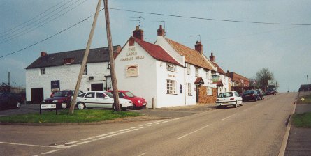
The Queens Arms can be found at 11 Isham Rd, NN14 1JD. The pub dates back to about 1750 and serves good quality dishes. They have a garden area and are also dog friendly.


