Upper Quinton Circular Walk

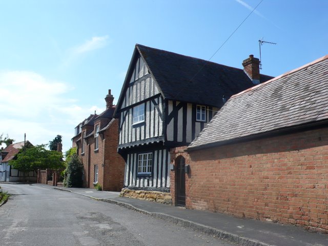
 This pretty Warwickshire village sits on the edge of the Cotswolds, just south of Stratford Upon Avon. The attractive area includes the sister village of Lower Quinton where you'll find a noteworthy inn dating back to the 1500s.
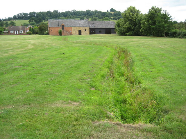
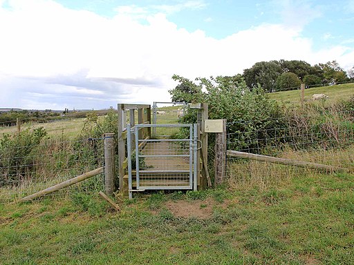
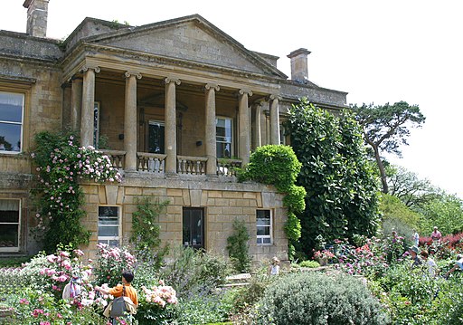
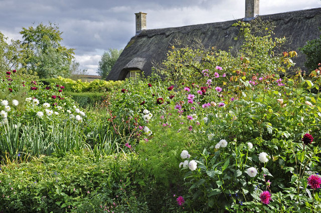
This route from the village uses sections of the Monarch's Way and the Heart of England Way to create a circular walk through the surrounding countryside. On the way you'll pass Meon Hill, the neighbouring village of Mickleton, the lovely Kiftsgate Court gardens and the splendid Hidcote Manor Garden. The route runs for nearly 8 miles, including a moderate hill climb around Baker's Hill at the southern end.
Upper Quinton Ordnance Survey Map  - view and print off detailed OS map
Upper Quinton Open Street Map  - view and print off detailed map
Upper Quinton OS Map  - Mobile GPS OS Map with Location tracking
Upper Quinton Open Street Map  - Mobile GPS Map with Location tracking
Walks near Upper Quinton
- Monarch's Way - This incredible 615-mile walk approximates the escape route taken by King Charles II in 1651 after being defeated in the Battle of Worcester
- Heart of England Way - Follow the Heart of England Way through the Midlands of England
- Hidcote Manor Garden - Explore these stunning National Trust owned gardens on this short walk in the Cotswolds
- Chipping Campden to Dover's Hill - This walk climbs to Dover's Hill from the lovely market town of Chipping Campden in the Cotswolds
- Ebrington and the Foxcote Estate - This circular walk takes you around some beautiful countryside on the Gloucestershire/Warwickshire border in the Cotswolds AONB
- Mickleton - This pretty Cotswolds village is the northernmost village in the county of Gloucestershire
- Stratford Upon Avon Canal - Enjoy waterside cycling and walking on this 26 mile canal which runs from Stratford Upon Avon to Birmingham
- Stratford Upon Avon - The Warwickshire town of Stratford Upon Avon is famously associated with William Shakespeare
- Ilmington - This walk from Ilmington makes use of three waymarked trails to create a fine circular route through the countryside surrounding the Cotswolds village
- Warwickshire Centenary Way - Starting at Kingsbury Water Park (video below) in the north of the county this lovely walk takes you through the River Tame Valley, Atherstone Ridge, Nuneaton, Coombe Abbey Park at Coventry (video below), Kenilworth, Warwick, Leamington Spa, Burton Dassett Hills, Avon Dassett, Edge Hill, Shipston on Stour and Ilmington Downs before finishing at Upper Quinton.
- Honeybourne - This rural Worcestershire based village is located near the Vale of Evesham, the Cotswolds and the village of Mickleton
- Bretforton - This attractive rural village is located in Worcestershire, near the village of Honeybourne, the town of Evesham and the beautiful Cotswolds.
Pubs/Cafes
In Lower Quinton there's the College Arms for some post exercise relaxation and refreshment. The historic country inn dates from the 16th century and was once owned by Henry VIII. There's a charming old interior with flag stoned floors, inglenook fireplace and wooden beams. They serve traditional home cooked food and can be found at postcode CV37 8SG for your sat navs.
Dog Walking
The country trails make for a fine dog walk and the College Arms mentioned above is also dog friendly.
Further Information and Other Local Ideas
The epic Warwickshire Centenary Way starts/finishes in the village. It will take you through the county to Kingsbury Water Park passing the nearby Ilmington Downs on the way.
