Worksop Canal Walk
![]()
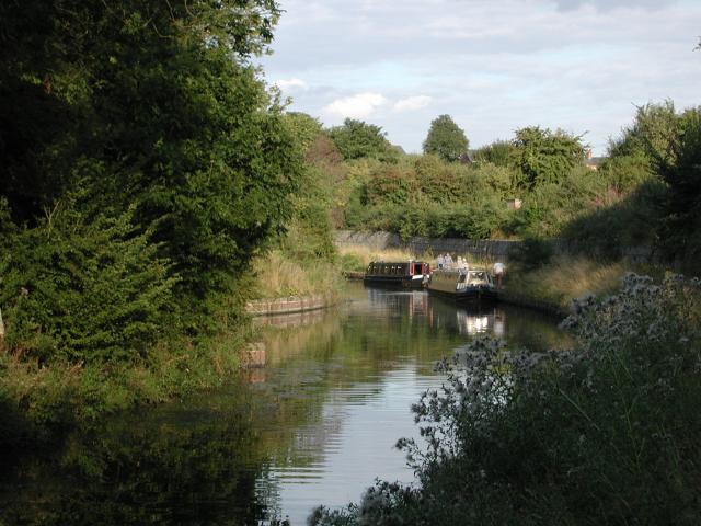
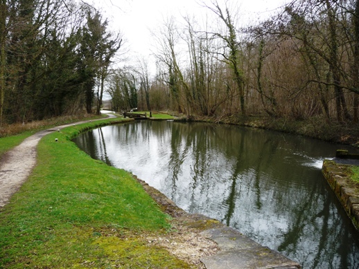
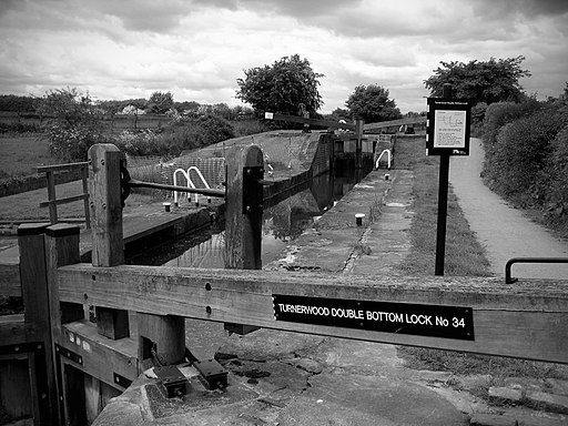
![]() This walk follows a section of the Chesterfield Canal from Worksop to Kiveton Park.
This walk follows a section of the Chesterfield Canal from Worksop to Kiveton Park.
The walk runs for just under 6 miles along the flat towpath, with the option of catching the train back at the end of the route.
The walk starts on the bridge over the canal just to the south of Worksop train station. From here you can pick up the towpath and follow it west past Sandhill Lake to Shireoaks where there's a prety marina. Here you can take a short detour from the canal to visit the 17th century Shireoaks Hall which is just to the south of the marina. Near here you could also stop for refreshments at the Hewett Arms pub in the village. The pub is situated on the outskirts of the village close to a fishing lake and includes a nice beer garden.
After passing Shireoaks the route continues west past a series of woods before coming to Kiveton Park. Here you can catch the train back to Worksop.
You could extend the walk by continuing along the canal to Rother Valley Country Park where there's some nice trails around the pretty lakes. Harthill Reservoir and Pebley Reservoir are also located just east of here.
Just to the south of Worksop there's the wonderful Clumber Park. There's 3,800 acres of woodland, open heath and rolling farmland to explore here.
Worksop Ordnance Survey Map  - view and print off detailed OS map
Worksop Open Street Map  - view and print off detailed map
Worksop OS Map  - Mobile GPS OS Map with Location tracking
Worksop Open Street Map  - Mobile GPS Map with Location tracking
Walks near Worksop
- Chesterfield Canal - A waterside walk along the Chesterfield Canal from Chesterfield to Staveley.
The walk starts from the train station where you can pick up a section of the Cuckoo Way to take you north along the River Rother - Rother Valley Country Park - Rother Valley Country Park is located near Sheffield and is an excellent place for a peaceful waterside walk or cycle
- Cuckoo Way - This walk follows the Chesterfield Canal through Nottinghamshire, South Yorkshire and Derbyshire from Chesterfield to West Stockwith
- Clumber Country Park - Enjoy a peaceful walk or cycle around the fabulous Clumber Park in Worksop
- Robin Hood Way - Follow in the footsteps of this legendary figure on this super walk through Sherwood Forest and the Nottinghamshire countryside
- Sherwood Forest Country Park - Explore 450 acres of peaceful woodland in this famous park and Nature Reserve in Nottinghamshire
- Retford - This attractive Nottinghamshire market town has some nice waterside walks along the Chesterfield Canal and the River Idle which run through the area
- Langold Lake Country Park - Enjoy woodland, wildlife meadows and two pretty lakes in this 300 acre country park near Worksop
- Edwinstowe - This Nottinghamshire based village sits in a pleasant spot, on the edge of Sherwood Forest near Mansfield
- Rufford Abbey Country Park - Visit Rufford Country Park near Mansfield and explore 150 acres of historic parkland
- Hodsock Priory - This circular walk takes you around Hodsock Priory in the Nottinghamshire village of Hodsock.
Further Information and Other Local Ideas
If you head east along the canal it will take you to Ranby and the interesting market town of Retford. In the town there's fine Georgian buildings, a spacious square and the interesting Mayflower Trail. On the trail you can learn about the Pilgrim Fathers, who originated from villages of Babworth and Scrooby on the outskirts of East Retford between 1586 and 1605. There's also the Mayflower Pilgrims Visitor Centre to visit here.
A few miles north of the town there's some more waterside trails around the pretty Langold Lake Country Park. The 300 acre park includes woodland, a nature reserve and a water park. Near here there's also Hodsock Priory to explore. The historic park is open to the public in February for the annual snowdrop walks. All year round you can explore the wider estate on a circular public footpath though.
For more walking ideas in the area see the Nottinghamshire Walks page.
Photos
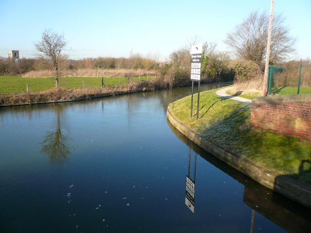
Kiveton Park. The winding hole (turning point) near the current limit of navigation of the Chesterfield Canal.


