Inkpen Walks
![]()
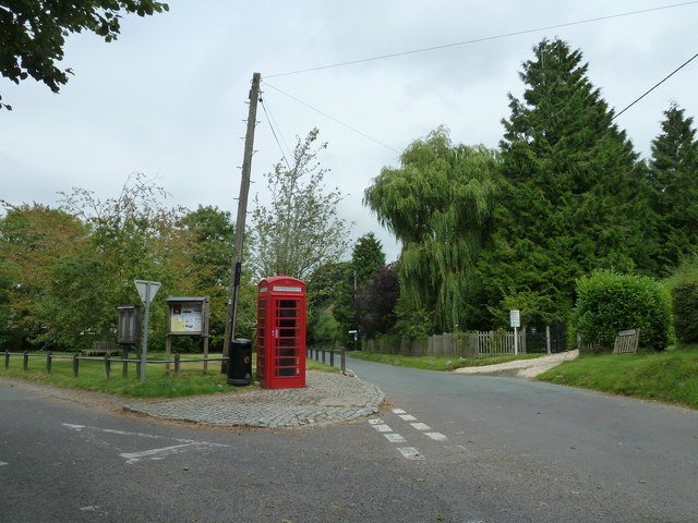
![]() This Berkshire based village makes a good start point for exploring the North Wessex Downs AONB. Inkpen is located just a few miles south of Hungerford. The settlement is noted for its rare crocus field and a noteworthy 13th century church.
This Berkshire based village makes a good start point for exploring the North Wessex Downs AONB. Inkpen is located just a few miles south of Hungerford. The settlement is noted for its rare crocus field and a noteworthy 13th century church.
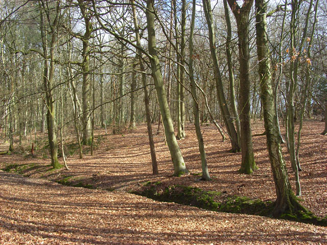
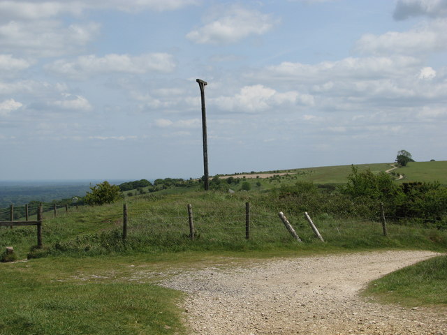
This circular walk from the village explores Inkpen Common before climbing to the highest point in Berkshire at Walbury Hill. You'll also visit Inkpen Hill and Combe Gibbet, a historical structure with a grisly past.
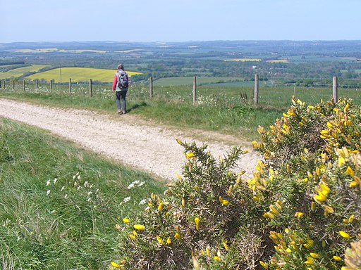
The walk starts near the common at the 17th century Crown and Garter pub. There's parking here and a bakery so you can pick up some supplies before your walk. The route then follows country lanes south to Trapshill before climbing to the series of hills at Gallows Down. There are some excellent views over the county from this elevated spot.
Postcode
RG17 9QR - Please note: Postcode may be approximate for some rural locationsInkpen Ordnance Survey Map  - view and print off detailed OS map
Inkpen Open Street Map  - view and print off detailed map
Inkpen OS Map  - Mobile GPS OS Map with Location tracking
Inkpen Open Street Map  - Mobile GPS Map with Location tracking
Walks near Inkpen
- Combe Gibbet - This walk climbs to the interesting structure of Combe Gibbet and continues on to Inkpen Hill
- Walbury Hill - This walk takes you to the highest point in Berkshire at Walbury Hill near Hungerford
- Newbury - The delightful Berkshire town of Newbury is a great place for waterside walks along the rivers, canal and lakes you can find in the area.
This short, easy stroll takes you along the Kennet and Avon Canal to the nearby Thatcham Discovery Centre - Newbury to Kintbury and Hungerford Canal Walk - Enjoy an easy stroll along the Kennet and Avon Canal from Newbury to Hungerford via the lovely village of Kintbury
- Snelsmore Common Country Park - This circular walk takes you around the peaceful Snelsmore Common Country Park in Newbury and on into the surrounding countryside along public footpaths
- Greenham Common - Explore the Greenham and Cookham Commons on this circular walk near Newbury
- Ashford Hill Nature Reserve - Explore the old water meadows and woodland in this pretty nature reserve near Newbury
- Highclere Castle - This walk uses public footpaths to explore the extensive parkland surrounding this Stately home near Newbury
- Three Downs Link - This is a walking and cycling path following bridleways through Hampshire, Berkshire, Wiltshire and Oxfordshire
- Donnington Castle - Enjoy a stroll around this historic castle before visiting the nearby Snelsmore Common on this circular walk in Newbury
- Tadley - This Hampshire based town is located near to some large areas of woodland and the attractive scenery of the North Downs
- Pamber Forest - This large forest in Tadley covers nearly 500 acres
- Silchester - This walk follows the waymarked Silchester trail around the Hampshire village
- Aldermaston - This Berkshire based village has some nice river and canalside trails to try.
- Bowdown Woods - This nature reserve sits on the northern edge of Greenham Common.
- Chilton Foliat - This little Wiltshire village near Hungerford is a lovely place for a stroll
Pubs/Cafes
The Crown and Garter pub at the start of the walk, serves good quality pub food. There's also a pleasant garden area for warmer days.
Dog Walking
The woodland and country trails are great for fit dogs. The Crown and Garter mentioned above is also dog friendly with dog bowls available.
Further Information and Other Local Ideas
Head north into Hungerford and you can pick up some easy waterside paths along the Kennet and Avon Canal Walk.
Photos
Inkpen crocus field. Near the centre of the village is Inkpen Crocus Fields a large field of Mediterranean crocuses, one of only two in the United Kingdom. According to the information plaque, the plants are believed to have been brought here by the Knights Templar in the Middle Ages for the production of saffron. It is currently owned by the Berkshire, Buckinghamshire and Oxfordshire Wildlife Trust.


