Tyne and Wear Cycle Routes

Use the links to view full route information including elevation profiles, interactive maps and GPS downloads.
You can also view an overview map of all the routes in the using the Tyne and Wear Cycle Map>>
There are several National Cycle Networksigned routes in the county many of which have been mapped and can be viewed and downloaded below.
For more information on cycle routes in Tyne and Wear including tips, advice and free cycle maps please click here
*New* - Walks and Cycle Routes Near Me Map - Waymarked Routes and Mountain Bike Trails>>
| Route Name | Photo | Distance | Description |
| Bede's Way | 11.8 miles (19 km) | Follow in the footsteps of seventh century pilgrims on this interesting walk or cycle through Tyne and Wear. View Full Details>> | |
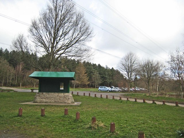
| Chopwell Woods | 3.1 miles (5 km) | Enjoy miles of cycling and walking trails in this large forest near Gateshead. There's 360-hectares of mixed woodland to explore on a variety of waymarked paths. Walkers can try four trails of varying lengths and difficulty. View Full Details>> | |
| Coast and Castles | 199.5 miles (321 km) | The complete National Cycle Network Coast and Castles route from Newcastle to Edinburgh via Berwick Upon Tweed. View Full Details>> | |
| Coast to Coast Whitehaven to Tynemouth | 136.7 miles (220 km) | This is the complete C2C National Cycle route crossing the country from east to west along a number of cycle tracks/paths and minor roads. You will see some spectacular scenery as you pass through the Cumbrian Lake District and Northumberland before the last leg through County Durham and the finish point at Tynemouth Pier on the east coast of England. See the Whitehaven to Sunderland page for the other C2C section. View Full Details>> | |
| Consett to Sunderland | 28 miles (45 km) | Travel from Consett along the C2C National Cycle route to Roker Pier in Sunderland. This can be completed as the 3rd leg of the C2C ride following from Whitehaven to Penrith and Penrith to Consett. Highlights on this ride include a long stretch along the Consett and Sunderland Railway Path before cruising by the river weir and ending up on the east coast of England by Roker Pier. You'll also pass Beamish Woods where there's some nice woodland trails and the views of the River Team. View Full Details>> | |
| Consett to Tynemouth | 28 miles (45 km) | Travel from Consett along the C2C National Cycle route to Tynemouth Pier. This can be completed as the 3rd leg of the C2C ride following from Whitehaven to Penrith and Penrith to Consett. This is a fairly flat ride with highlights including a stretch along the River Derwent before following the Tyne into Newcastle Upon Tyne and finishing on the East coast of England. View Full Details>> | |
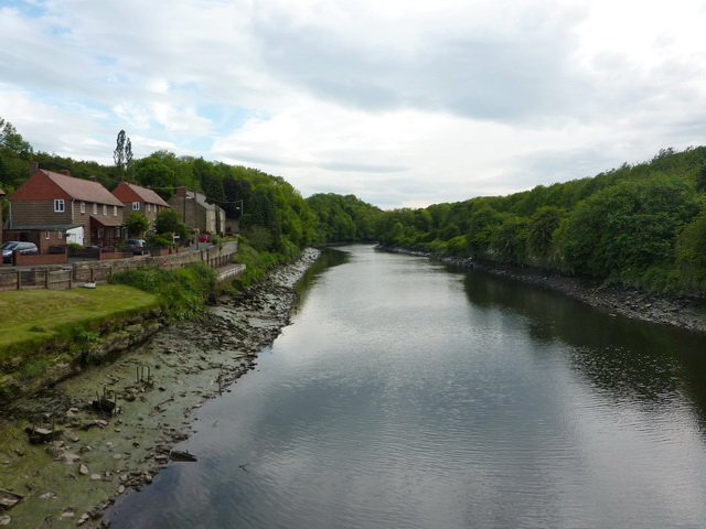
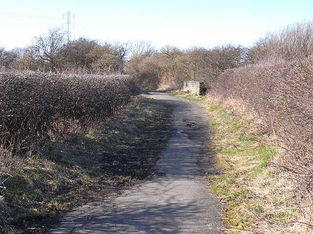
| Derwent Valley Walk | 11.2 miles (18 km) | This lovely railway path runs from Swalwell, near Gateshead, to Consett alongside the River Derwent and is suitable for walkers and cyclists. You will pass the villages of Rowlands Gill, Hamsterley and Ebchester on the way. The path also takes you through Derwent Walk Country Park and there is a woodland section at Byerside Wood. At the park you could cross to the to the western side of the river and visit Thornley Woods where there's a sculpture trail and a visitor centre with lots of information about the area. Also of interest is the National Trust owned Gibside near Rowlands Gill. This is well worth a visit with its 18th-century landscape park and nature reserve. View Full Details>> | |
| Derwent Walk Country Park | 2.5 miles (4 km) | The Derwent Walk is a former railway path running from Swalwell, near Gateshead, to Consett alongside the River Derwent and is suitable for walkers and cyclists. View Full Details>> | |
| Great North Forest Heritage Trail | 65.2 miles (105 km) | This circular cycle and walking route takes you through the countryside of this former mining area in Tyne and Wear. The trail passes Pelton, Bournmoor, Hetton-Le-Hole, the Penshaw Monument and Witherwack. The route includes a section along the River Wear in Sunderland and a delightful coastal section visiting Whitburn, Marsden Bay, the splendid magnesian limestone cliffs at the Leas in South Shields and Souter Lighthouse. You will also visit Lumley Castle - a 14th century quadrangular castle at Chester-le-Street with lovely gardens. Also of interest is the Penshaw Monument - a folly situated on on Penshaw Hill dedicated to John George Lambton, first Earl of Durham. The video below shows the splendid views from this most beloved landmark which appears on the badge of Sunderland Football Club. Near Stanley the route visits the oldest single-arch railway bridge in the world at Causey Arch. View Full Details>> | |
| Hadrians Cycleway | 174 miles (280 km) | This is the complete route for the Hadrian's Cycleway which runs from east coast of England to the west coast passing through some fabulous scenery. There's some fascinating history too with views of the famous ancient wall and a visit to a series of Roman forts. View Full Details>> | |
| Haltwhistle to Tynemouth | 57.2 miles (92 km) | This route is the final leg of 3 making up the Hadrians Cycleway. The ride has some fabulous scenery as you pass through the counties of County Durham, Northumberland and Tyne and Wear and the city of Newcastle. View Full Details>> | |
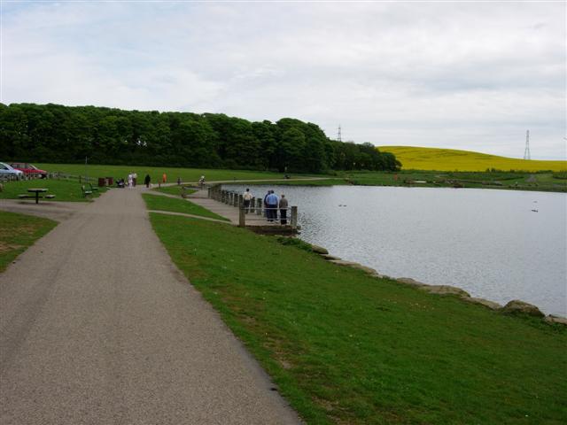
| Herrington Country Park | 2.5 miles (4 km) | This super, large park in Sunderland has a number of cycling and walking trails and interesting environmental sculptures. There is also a boating lake, a nature pond and a sculpture trail. The park is ideal for an easy family cycle ride. The Great North Forest Heritage Trail runs through the park so you could continue your cycle/walk along this route. Also of interest is the Penshaw Monument just to the north of the park. View Full Details>> | |
| Hetton Lyons Country Park | 1.2 miles (2 km) | Enjoy a walk or cycle around this attractive country park in Hetton-Le-Hole. The park was developed on a former colliery site and now contains a large picturesque lake with wildlife. There's good facilities too with a car park, kids play area, cafe and a bmx track. The Great North Forest Heritage Trail also runs through the park so you could continue your cycle/walk along this route. View Full Details>> | |
| James Steel Park | 2.5 miles (4 km) | Enjoy riverside walking and cycling in this country park situated on the River Wear in Washington, Sunderland. The park includes a fishing lake and cycling and walking trails. It is located less than a mile north of the Penshaw Monument on the Weardale Way and Great North Forest Heritage Trail walking routes. View Full Details>> | |
| Keelmans Way | 9.9 miles (16 km) | This 10 mile walking and cycling trail runs along the River Tyne from Wylam to the upper reaches of the Tyne and the Derwent Walk Country Park in Gateshead. It is also known as National Cycle Route 141. View Full Details>> | |
| National Cycle Route 14 | 88.2 miles (142 km) | Sustrans Route 14 runs from Darlington to South Shields through County Durham and Tyne and Wear. View Full Details>> | |
| Newcastle to Bellingham | 55.9 miles (90 km) | This long route takes you from Tyne and Wear into Northumberland along National Cycle routes 72 and 10. You start by Newcastle Upon Tyne rail station and head along National Cycle route 72 and the River Tyne to East Howdon. A long off road stretch along a dismantled railway line followed by some country roads takes you to Ponteland along National Cycle Route 10 and the Reivers Route. The ride continues on road through Northumberland with some lovely scenery including views of the River North Tyne and Colt Crag Reservoir. You finish at the tourist information centre at Bellingham - a popular stopping place for walkers and cyclists visiting the Pennine Way Trail. View Full Details>> | |
| Newcastle To Tynemouth | 11.1 miles (17.9 km) | This easy walk or cycle takes you from Newcastle to Tynemouth along the River Tyne. View Full Details>> | |
| Reivers Route | 181.4 miles (292 km) | This signed Sustrans Route crosses the country from Whitehaven on the west coast to Tynemouth on the east coast. View Full Details>> | |
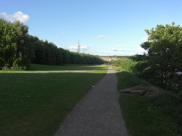
| Rising Sun Country Park | 3.4 miles (5.5 km) | Explore 400 acres of parkland on this lovely cycle or walk in Newcastle. There is an extensive network of footpaths and bridleways suitable for walkers and cyclists. The park is made up of various habitats including grassland, woodland, ponds, wetlands and a lake designated as a Local Nature Reserve. There is also a bird hide overlooking the Swallow Pond and an excellent Visitors' Centre with a Restaurant and Exhibition Room. View Full Details>> | |
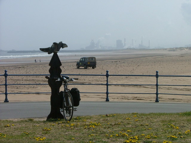
| Sunderland to Morpeth | 37.3 miles (60 km) | This ride follows National Cycle routes 1 and 155 through Tyne and Wear and into Northumberland. You start in Sunderland and head north along the coast to South Shields where you can catch the South Shields Ferry across the harbour. You then continue along the coast through Tynemouth, Whitley Bay and Blyth. Near Newbiggin By the Sea you turn inland along National Cycle Route 155 passing Queen Elizabeth II Country Park, Wansbeck Riverside Country Park and Ashington before finishing by crossing the River Wansbeck at Morpeth. This is an interesting, largely coastal route with several off road sections making for a worthwhile ride. Highlights include the splendid cliffs and coastal scenery at Souter Lighthouse and Whitburn Coastal Park near South Shields. View Full Details>> | |
| Tyne Riverside Country Park | 1.9 miles (3 km) | This park follows the River Tyne for four miles through 200 acres of meadows, chalk grassland, woodland and river bank. The park is great for both walkers and cyclists with the Hadrian's cycleway running along the riverside. Hadrian's Wall Path also runs through the park so there is scope for continuing your walk along this path. The park is a short walk from Wylam and Prudhoe train stations and Tyne Valley bus routes. It is about 6 miles west of the centre of Newcastle Upon Tyne and Gateshead. View Full Details>> | |
| W2W Cycle Route | 151.6 miles (244 km) | This long distance Coast-to-Coast cycle route follows National Cycle Route 70 from Walney Island on the Cumbrian west coast to the mouth of the River Wear in Sunderland on the east coast. View Full Details>> | |
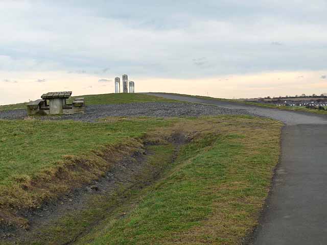
| Weetslade Country Park | 3.7 miles (6 km) | This former colliery site has been converted into a beautiful country park and a haven for wildlife. Weetslade hill rises to a height of 95m giving fabulous views of the surroundiing countryside, the North Sea, the Cheviots and Newcastle Upon Tyne city. View Full Details>> |